
Land Assembly and Access in Armagh
Land assembly in Armagh means bringing several pieces of land under one plan so they can be developed together. It might combine neighbouring gardens, separate fields, or a main site and the strip needed to reach the road. Land to Homes negotiates with each owner and sets up a fair, written way of sharing value.
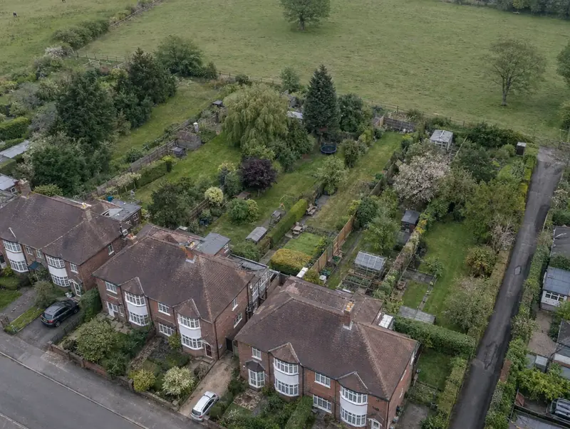 Armagh · BT61
Free site appraisal
Tell us about your land and we will call you back. No cost, no obligation.
Prefer to talk? Call 0800 088 6248.
- Free site appraisalNo cost, no obligation
- Legal fees coveredReasonable fees, on options and promotion
- Nothing to pay upfrontOn promotion: we fund planning
- Direct purchaseSuitable sites, with or without planning
- UK-wideEngland, Wales, Scotland and NI
Land and sites near Armagh
Armagh sits about 10 miles south-west of Portadown in County Armagh, in the BT61 postcode district. If your land sits between towns, Portadown, Dungannon and Lurgan are the closest neighbouring places on our list.
Typical sites we review near Armagh include corner plots and side gardens, backland plots with a workable access and former garage blocks and yards. Because Armagh is in Northern Ireland, land titles are registered with Land & Property Services (Land Registry and Registry of Deeds) and transfers attract Stamp Duty Land Tax (SDLT).
Send us a postcode in or near BT61 and we will start with a free desktop appraisal.
What you get in Armagh
One planning strategy
A single application covering the whole area usually produces a better layout than piecemeal schemes, and councils often expect it where their plans call for comprehensive development.
Ransom strips identified
A ransom strip is land that controls access to a development site. We check titles and highway records to establish who owns every piece of land between your site and the public road.
Visibility splays secured
A new junction needs clear sightlines across land on either side. If any of that land is in other ownership, rights or a purchase are needed before the access can work.
Equalisation between owners
A collaboration or equalisation agreement shares proceeds by area or agreed proportion, so it does not matter whose land ends up as roads, open space or homes in the final layout.
Planning in Armagh: the Northern Irish rules
Selling land near Armagh follows a familiar pattern in Northern Ireland: heads of terms, then an exchange of contracts signed by both sides, which makes the sale binding, and completion. The buyer pays Stamp Duty Land Tax, as in England, and the title is registered with Land Registry, part of Land & Property Services, although older titles may first need moving from the Registry of Deeds. Infrastructure and affordable housing are usually secured through a Section 76 planning agreement.
In Northern Ireland, new estate roads are usually built under the Private Streets (Northern Ireland) Order 1980, with DfI Roads determining the layout and an agreement and bond securing adoption. Titles are held by Land & Property Services, and some older land is still recorded in the Registry of Deeds. Stamp Duty Land Tax applies to purchases.
| Local planning document | Local Development Plan (LDP), made up of a Plan Strategy and a Local Policies Plan |
|---|---|
| Land transaction tax (paid by the buyer) | Stamp Duty Land Tax (SDLT) |
| Land registration | Land & Property Services (Land Registry and Registry of Deeds) |
| How a sale becomes binding | A land sale becomes legally binding when contracts signed by both parties are exchanged and finishes on completion, with the title registered in the Land Registry at Land & Property Services. |
Your questions answered for Armagh
What is an equalisation agreement?
It is an agreement between landowners whose land will be developed together. It shares proceeds and costs by an agreed formula, usually by area, regardless of where homes, roads or open space end up. Without one, owners may compete for the most valuable parts of the layout and stall the whole scheme.
What is a ransom strip?
A ransom strip is a piece of land, sometimes very narrow, that sits between a development site and the road or services it needs. Whoever owns it can block access or ask for a share of the value it unlocks. The amount is negotiated case by case. Our guide to ransom strips and access explains more.
Should neighbours sell their land together or separately?
Together usually produces a stronger planning case and a more efficient layout, especially where one access can serve everyone. It needs trust and clear documents. Selling separately can work for a plot with its own access, but may limit what the wider area can achieve.
What is a visibility splay?
A visibility splay is the area of land either side of a junction that must be kept clear so drivers can see approaching traffic. Its size depends on road speeds and the highway authority's standards. If part of the splay is owned by someone else, the scheme needs their agreement before the access can work.
Is Armagh an area you cover for land?
Yes, we cover land in Armagh and elsewhere in County Armagh, including Lurgan and Portadown. Where a site suits us we can buy it directly, or set up an option or promotion agreement. On promotion there is nothing to pay upfront.
Read more: Land Assembly and Access · Guide: How affordable and social homes are delivered across the UK