
Free Site Appraisal in Redruth
Before you spend money on surveys or advisers, find out whether your land in Redruth has realistic potential for new homes. Our free appraisal starts with a desktop review of official planning documents, maps and title records, and may lead to a site visit. You get a plain-English view on prospects, risks and next steps.
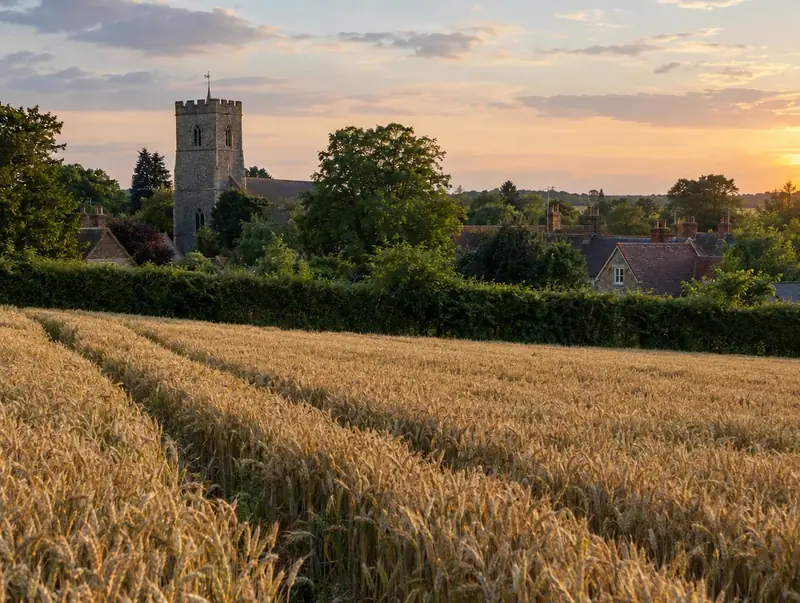 Redruth · TR15
Free site appraisal
Tell us about your land and we will call you back. No cost, no obligation.
Prefer to talk? Call 0800 088 6248.
- Free site appraisalNo cost, no obligation
- Legal fees coveredReasonable fees, on options and promotion
- Nothing to pay upfrontOn promotion: we fund planning
- Direct purchaseSuitable sites, with or without planning
- UK-wideEngland, Wales, Scotland and NI
Land and sites near Redruth
We cover Redruth as part of Cornwall. It is about 8 miles west of Truro, around postcode district TR15. The nearest other places we cover are Camborne (4 miles), Truro (8 miles) and Falmouth (9 miles). Redruth is in the South West region of England.
In and around Redruth, the land we appraise ranges from large and long rear gardens to paddocks on the edge of Redruth, including corner plots and side gardens. Planning in Redruth follows England’s rules: the National Planning Policy Framework sets national policy and the council’s Local Plan sets local policy.
Send us a postcode in or near TR15 and we will start with a free desktop appraisal.
What you get in Redruth
Title and boundaries
We read the title register and plan for covenants, rights of way and easements that could affect development, and flag anything your solicitor should look at more closely.
Services and drainage
We check where sewers, water mains and power run, and flag where limited capacity, long connections or drainage design could add significant cost to a scheme.
Access and highways
We look at road frontage, the likely junction position and visibility, and whether the adopted highway actually reaches your land or stops short of it.
Constraints mapped
Flood zones, conservation areas, listed buildings, protected trees, ecological designations and landscape protections are all checked against your boundary using official mapping and published public records.
Planning and land rules in Redruth
If your land near Redruth lies in the Green Belt, national policy still protects it, but England's planning framework now recognises grey belt: Green Belt land that is previously developed or does not strongly contribute to certain Green Belt purposes. Where there is evidenced unmet need and the location is sustainable, grey belt housing can be acceptable, with major schemes meeting the Golden Rules on affordable housing, infrastructure and green space. Planning is never guaranteed, so we check policy, access and constraints first.
In England, we check the Local Plan and policies map, the Environment Agency's flood map for planning, Green Belt boundaries, designations shown on Defra's MAGIC map, and whether the site appears on the council's brownfield land register. Title comes from HM Land Registry. We also consider whether biodiversity net gain would apply to the likely scheme.
| National planning policy | National Planning Policy Framework (NPPF), revised August 2026, with national planning practice guidance |
|---|---|
| Land transaction tax (paid by the buyer) | Stamp Duty Land Tax (SDLT) |
| How a sale becomes binding | A land sale becomes legally binding on exchange of contracts and finishes on completion, after which the buyer registers the title with HM Land Registry. |
| Developer contributions | Section 106 planning obligations, plus the Community Infrastructure Levy (CIL) where the council charges it |
Common questions in Redruth
Can I ask for an appraisal on land I am selling for someone else?
Yes, if you are acting for the owner, for example as an executor, trustee, attorney or land agent. We will need to understand your authority before discussing terms. If you are a buyer looking at land, a planning consultant or surveyor can advise you independently.
What does a free site appraisal include?
It covers local planning policy, constraints such as flood risk and heritage, access to the road, title issues, services, and an indication of the kind of scheme that might fit. It ends with a view on the realistic routes for your land. It is not a formal valuation, and it is not legal advice.
Will you need to visit my land?
Often, if the desktop review shows realistic potential. We will arrange a visit at a time that suits you and explain what we want to look at, such as the access point, boundaries and ground conditions. Many sites can be ruled in or out without a visit.
Will you contact my neighbours or the council?
Not without your agreement. We use what you share to assess your land and discuss it with you. Our desktop review relies on published records and mapping. If talking to a neighbour or the council would help, we will ask you first and explain why.
Do you buy land in Redruth?
Yes. Land to Homes looks at land in Redruth and elsewhere in Cornwall, including Newquay, Bude and Truro. Every enquiry starts with a free site appraisal, and on option and promotion agreements we pay your reasonable legal fees.
Read more: Free Site Appraisal · Guide: Who pays for land promotion? Fees, costs and legal fees explained